 |
| The last time we did this walk was in November 2014 and many of the lanes were flooded. As they are sunken they are below the level of many of the fields so water just collects in them. No such problem today as they were so dry and overgrown we had a problem finding our way. We even got off to a bad start and had great difficulty following the instructions in the book so it took us half an hour to get on the right lane. There were loads of locked gates as well so these had to be climbed. If the lanes are on the OS maps as rights of way then each gate should have a stile like this one in the photo. Lots of the gates were not in good condition and it was a real effort to get over them. |
 |
| The fences were all barbed wire as well which causes problems |
 |
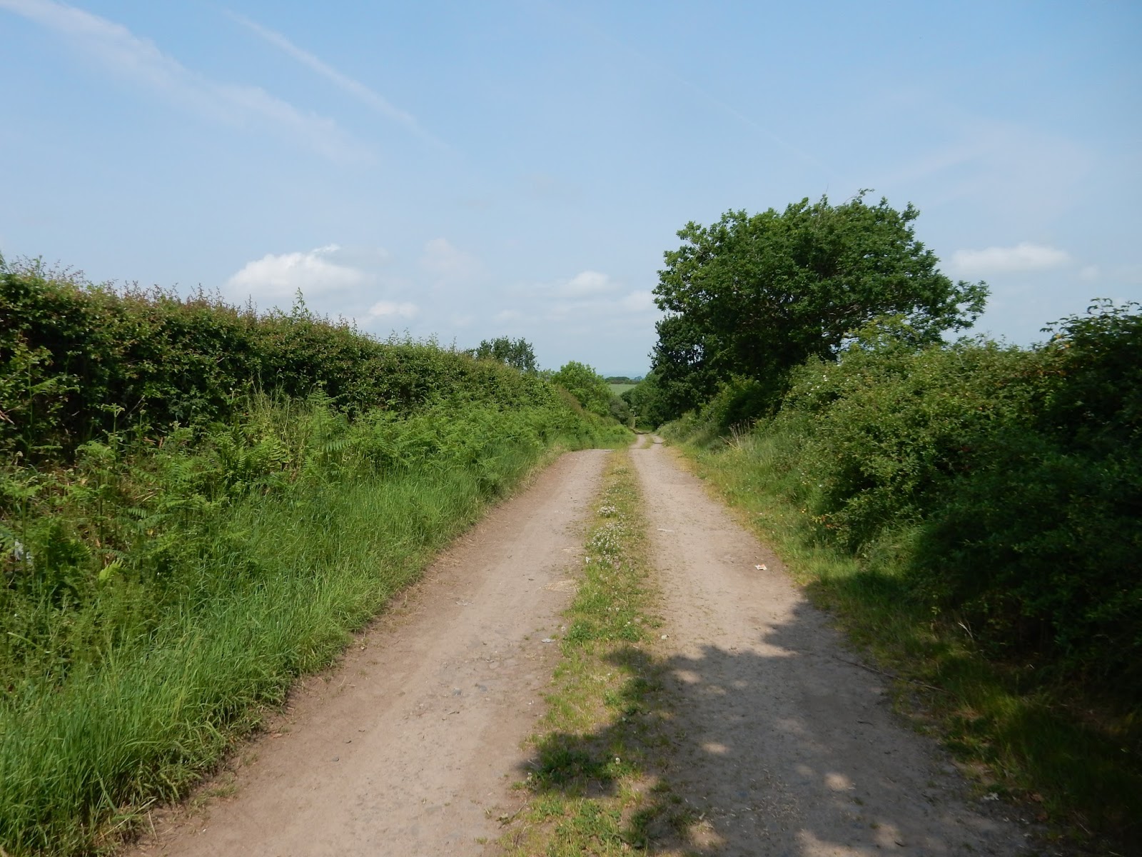
| This is the best of the Sunken Lanes and is about 600 years old. They date back to medieval times and were used by villagers to move their stock between the villages which is why they have such high banks so the stock will remain in the lane. |
 |
| A short break on the village green at Thurstonfield. |
 |
| This is Thurstonfield Lough. It has many log cabins round the sides of it and is used as a holiday centre. |
 |
| Thurstonfield Lough |
 |
| In the middle of Thurstonfield Village is this beautiful old house. I don't know what it is used for today. |
 |
| It was just along this lane we went wrong in a big way and added another 2 miles to our route. It is a mixture of bad map reading and bad instructions in the book. We ended up going all the way round a huge corn field and ending up back where we started on this lane. |
 |
The Corn Field with no exit. We eventually found our way back on the right lane and ended up back at Burgh by Sands for a very welcome pint in the Greyhound. A family of Swans on Thurstonfield Lough |
1 comment:
What fun you had.
Post a Comment